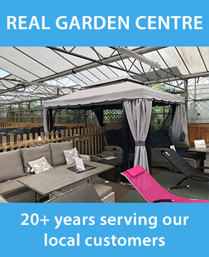
Personal tools
You are here: Home Sherwood Forest walks & bike rides route 6 (7 miles)
Document Actions

route 6 (7 miles)

Roaming the royal heart of ancient Sherwood Forest - suitable for walkers & cyclists


A circular route of about 7 miles starting at Vicar Water Country Park, then through Sherwood Pines (rightfully the centuries old name of called Clipstone Shrogges should be used). The route follows the B6030 to Kings Clipstone and finally returns along Bog Lane.

Start at Vicar Water Country Park


1.  Leave the car-park by the left hand exit and head for the lake. Bear right at the lake and follow the national cycle route 6 signs down the back of the reclaimed pit tip. You should have the hill on the right and the old railway cutting on the left.

2.  Stay on this path, it turns right and follows the electricity poles (don’t go across the first bridge). At the next junction in the path turn left – there is a national cycle route sculpture  

3.    Cross the old railway bridge and turn left again, you should see to the left the cutting with exposed sandstone and heather.

4.    This takes you across another bridge – carry straight on.

5.    Go through the bridge under the railway embankment.  You are now in Sherwood Pines.

6.  Keep going straight on, following the track uphill. The track levels out and runs very straight until it meets another track in a T junction.  

7. Turn right – the track descends.

8.  Then turn left at the next junction. The track passes through heathland and acid grassland typical of Clipstone Shrogges before the Forestry Commision took it over. 

9. This track takes you towards Centre Parcs where a left turn takes you up hill.  

10. To the right the edge of the forest can be seen. When a path crosses the track and the forest edge moves  away, turn right and look for the very old parish boundary marker just inside the path on the right. The marker is inscribed with an S for the Savilles who owned the Rufford Estate which abutted the Portland Estate here. Rejoin the track and continue as before going up the gentle slope. Ignore side tracks and paths until you come to a tree trunk placed across the track.

11. Turn left and immediately right onto the tarmac road.

12. This takes you to the B6030 where a left down the hill takes you to Kings Clipstone. Be cautious on this section of the road, there is a wide verge but it is uneven in places.

13.  Turn left at the Dog & Duck and go south along Bog Lane towards Vicar Water Country Park.

14. The path goes up the small valley of Vicar Water. The remains of the royal palace can be seen on the hill above. The large area of meadow is one of the few surviving parts of the Flood Dyke irrigation scheme which was over 8 miles long, from Mansfield to beyond Edwinstowe. The valley was the site the Great Pond of Clipstone before the irrigation work, at over half a mile long it first appeared in royal records in 1180.

15. Bear right when you reach Vicar Water Lake.


Kings Clipstone walks & rides    Route 6 - VWCP       December 2006


Powered by Plone, the Open Source Content Management System

This site conforms to the following standards: